
Our GIS technical services span the full spectrum of geospatial possibilities.
Geospatial Analysis and Mapping
From complex analyses identifying landscape resilience priorities, to simple spatial overlays and data summarization, AdaptGeo can gather, parse, and transform geographic data into the actionable insights you require.

Spatial Statistics and Modeling
AdaptGeo can take dizzying numerical inputs and craft easy to understand numerical metrics and maps that provide far-reaching, data-driven high-value information that will fuel your mission with durability.

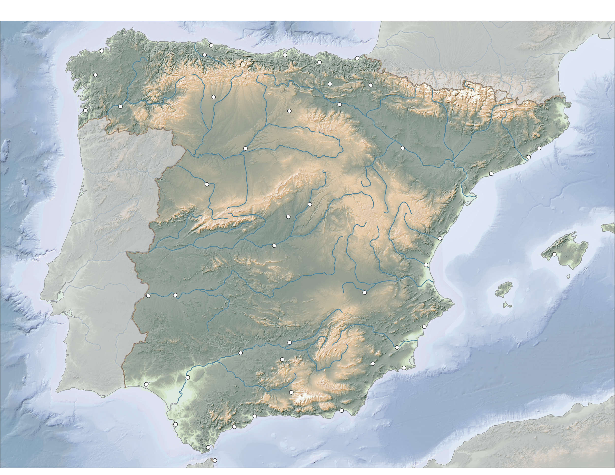
Cartography and Data Visualization
If a picture is worth a thousand words, a map is worth a million. Cartography is where art and science overlap to communicate in ways not possible with any other media. AdaptGeo will apply an artful approach to the detailed data that you know deserves the most attention.
GIS Database Management
These days, the world revolves around data, and geographic data is critical to finding the right solutions to the challenging questions we face. AdaptGeo can organize your geospatial data so that all the answers your data can reveal remain at your fingertips.

Interactive Web-Mapping
Explore your data the same way you explore the world. Web-maps have transformed how people prepare and engage with their communities. Let AdaptGeo build your custom interactive web-map experience to suit the needs of different audiences and decision-makers.
